Open Science
otsuchi
select
About topography
陸の地図は、国土地理院の
地理院タイル
を利用しています。
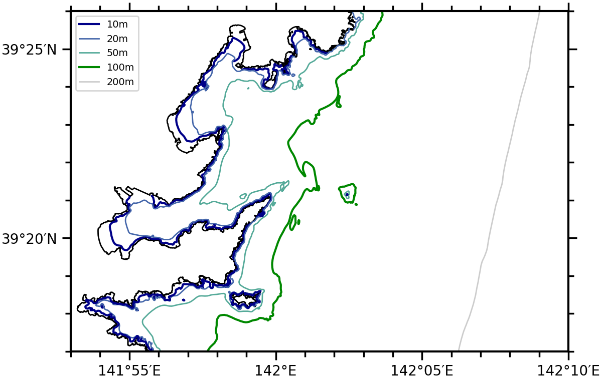
等深線は、日本水路協会の海底地形デジタルデータ
M7000
を利用しています。
Close
Isobaths
Close
Select Otsuchi CTDs
Blue and green thick lines indicate 10-m and 100-m isobaths, respectively.
To move this map, click
at the right panel.